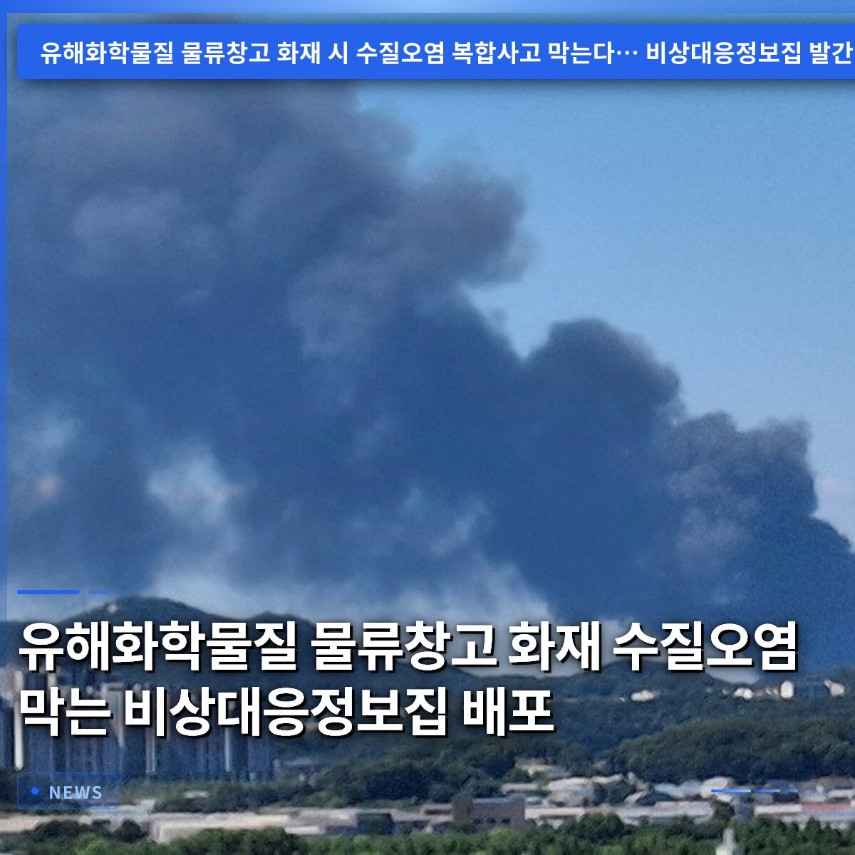
If a fire breaks out in a logistics warehouse storing hazardous chemicals, the firefighting water can mix with these substances and flow into rivers, potentially causing catastrophic secondary environmental pollution. To prevent this, the Chemical Safety Agency of the Ministry of Climate, Energy and Environment has officially announced the publication of the “Emergency Response Information Booklet for Hazardous Chemical Storage and Warehousing Businesses,” which will be distributed to major cities, counties, and districts nationwide starting in September. This booklet is not just a map; it is a practical manual that clearly outlines how to contain water flow and identifies dangerous substances in the event of a fire. Previously, a pilot program was conducted at 69 logistics facilities in the Gyeonggi region, where the booklet was practically utilized for installing disaster prevention levees during the Pungtaek warehouse fire, proving its effectiveness. Based on this field experience, the scope has been expanded to 92 locations nationwide, with more precise latitude and longitude coordinates added for irrigation canals. In this article, we will analyze the contents of this emergency response booklet, the benefits it offers to local governments and field rescue teams, and the specific impacts and response postures for citizens living near hillsides or rivers. =
Distribution of Emergency Response Information Booklet to Prevent Water Pollution from Fires at Hazardous Chemical Warehouses
1. The Science of the Dangerous Combination of Fire and Water
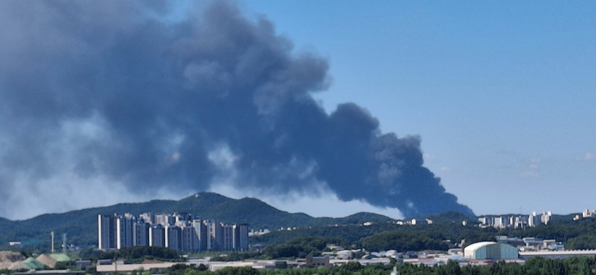
Extinguishing fires in logistics warehouses requires a massive amount of firefighting water. This water, poured out to put out the flames, mixes with the hazardous chemicals stored inside the warehouse. The resulting contaminated water not only generates toxic gases but also pollutes the soil and groundwater. The problem is that this contaminated water naturally flows into nearby rivers via rainwater, sewage inlets, or directly across the surface. During the Pungtaek logistics warehouse fire, there were significant concerns about the potential for this water to enter the river system. If the fire brigade had not quickly installed water barriers in the initial stages, public trust in the drinking water sources of nearby residents would have been shattered. The core logic is that preventing complex accidents requires controlling not just the fire itself, but also the flow of “water.” Even now, logistics warehouses across the country harbor risk factors that could lead to large-scale marine or river pollution if mishandled.
Identifying the natural flow paths of contaminated water mixed with firefighting water and hazardous chemicals is the first step in preventing secondary environmental disasters.
2. Key Components of the Emergency Response Information Booklet
The recently published booklet clearly lists basic facility information and a list of handled substances. A general layout diagram allows for visual confirmation of which chemicals are located in which areas. It also includes data for estimating the volume of firefighting water generated, aiding in planning the scale of initial response. Detailed maps of firefighting water movement paths inside and outside the facility allow for prediction of water flow. Expected pathways for water entering river systems are marked on the map, providing a basis for deciding where to install disaster prevention barriers. The booklet includes specific countermeasures for each major blocking point and instructions on using disaster prevention equipment, written to a level that can be implemented immediately in the field.
Centralizing key response information from facility status to equipment usage guidelines shortens decision-making time in the field.
3. Background of Expansion from Gyeonggi Pilot to Nationwide Coverage
The Chemical Safety Agency first produced and distributed this booklet for 69 logistics facilities in the Gyeonggi region in April of this year. This pilot project aimed to verify actual disaster response capabilities, not just follow administrative procedures. The Pungtaek logistics warehouse fire in August served as the test case for this verification. On the scene, disaster prevention levees were installed in advance based on the booklet, successfully blocking the flow of contaminated water into the river. This case proved that information, once merely a piece of paper, can save lives and protect the environment in the field. Based on this successful outcome, experts strongly urged the need for nationwide application. Consequently, a decision was made to expand the target to 92 facilities, fully incorporating field feedback.
The successful disaster prevention case at the Pungtaek fire scene became the decisive basis for expanding the publication to 92 logistics facilities nationwide.
4. Technical Innovations to Maximize Field Accuracy
Existing facility safety data was mostly limited to brief lists of handled substances. Basic location information alone made it difficult to find disaster prevention points in emergencies. In particular, irrigation canals often had unclear address labels or branched into multiple paths, causing confusion. To overcome these limitations, this booklet directly adds latitude and longitude coordinates. This enables rapid location searching linked with GPS, ensuring accuracy without visual errors even at night or in the rain. Instructions on using disaster prevention equipment are provided with both images and text, allowing for quick application regardless of skill level. These technical enhancements have the potential to fundamentally change the landscape of disaster response.
The introduction of latitude and longitude coordinates enables precise disaster prevention even in unclear irrigation canal sections, maximizing field response efficiency.
5. Strengthening Local Government Disaster Response Capabilities
This information set is delivered directly to disaster response departments in 27 cities, counties, and districts nationwide. Local governments that have lacked training in chemical-related incidents can become proficient response personnel through this material. Under the public-private cooperation system, if local government officials understand facility characteristics in advance, they can resolve information asymmetry with fire crews. This plays a decisive role in reducing initial confusion and securing more golden time. If fire stations, environmental agencies, and local governments each had different manuals, conflicts between manuals were inevitable. Sharing a single standardized information booklet facilitates role division and task coordination. Ultimately, protecting citizen safety is directly linked to the level of information sharing among administrative agencies.
Sharing standardized response manuals reduces the information gap between fire services, local governments, and citizens, enhancing the stability of the cooperation system.
6. Building a Continuous Safety Net and the Role of Citizens
Park Bong-gyun, Director of the Chemical Safety Agency, re-emphasized the importance of rapid and accurate initial response. The publication of this booklet is not the final version of chemical accident preparedness but a new starting point. The government plans to continue resolving information barriers by reflecting field opinions. Citizens living near logistics warehouses need the wisdom to understand the location and handled substances of nearby logistics facilities in advance. This will serve as a reference for evacuation routes and disaster prevention zone settings when a fire alarm sounds. Voluntary interest and understanding become part of the private safety net. Based on the information in this article, we recommend that you check the risk factors around your residence. Our collective efforts form the foundation for completing a robust social safety net.
A true chemical disaster safety net is completed only when government-led information provision is combined with citizens’ voluntary risk awareness.
Frequently Asked Questions
=